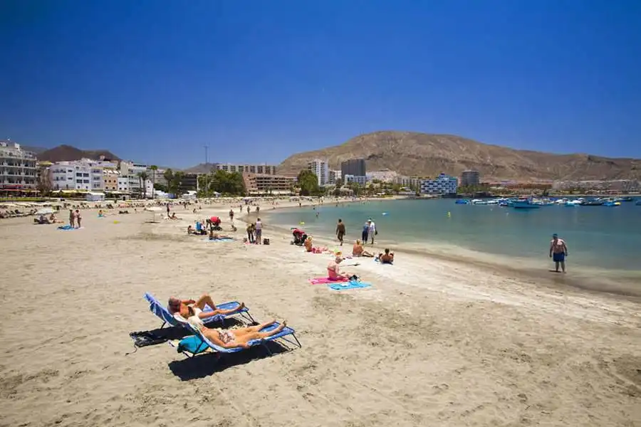
The Canary Islands are expected to see slightly cooler conditions this Thursday, although temperatures could still approach 30°C in parts of the archipelago, according to the latest forecast from AEMET.
While the recent heatwave conditions continue to ease gradually, forecasters say southern mid-altitude areas on some islands may still experience unusually warm temperatures for the time of year.
Residents and tourists are still being advised to stay hydrated and remain cautious in direct sunlight, particularly during the hottest hours of the afternoon.
Cloudier skies are expected along northern coastlines across the islands, although sunny spells and clear skies will dominate elsewhere.
Stronger winds expected in exposed areas
Moderate north-easterly to northerly winds are forecast throughout the Canary Islands, with occasional strong intervals expected, particularly in low-lying south-eastern and north-western areas of the mountainous islands.
Very strong gusts are also possible in exposed parts of Tenerife during the early hours of the morning.
At sea, north-easterly winds force 2 to 5 are expected, with slight to moderate waves and north-westerly and south-easterly swells between one and two metres depending on the area.
Island-by-island forecast for Thursday 28th May 2026:
Tenerife
Tenerife will see cloudy intervals along northern coastlines, particularly in the north-east, with brighter conditions developing through the middle of the day. The rest of the island is expected to remain mostly clear.
Temperatures will continue to fall slightly, with the most noticeable drop expected in higher and mid-altitude areas. However, conditions will still remain warm across much of the island.
Moderate north-easterly winds may become strong at times along eastern coastal areas and the far west of the island, where very strong gusts are also possible. In the summit areas, strong winds are expected overnight before easing later in the day.
General temperature range: Low of 20°C and a high of 26°C.
Gran Canaria
Northern coastal areas of Gran Canaria will start the day cloudy, although large sunny intervals are expected by midday. Elsewhere, conditions will remain mostly sunny and dry. Temperatures will fall slightly to moderately away from the coast, especially in north-eastern and southern mid-altitude areas. Despite the cooler trend, southern midlands could still locally exceed 30°C.
Moderate north-easterly winds are expected, with stronger intervals possible along south-eastern and north-western coasts. Occasional strong gusts cannot be ruled out. In higher areas, winds will shift from west to north during the day.
General temperature range: Low of 20°C and a high of 25°C.
Lanzarote
Lanzarote will remain mostly sunny, although some cloud is expected along northern and western coastal areas early and late in the day.
Temperatures will see little change overall, although eastern parts of the island may notice a slight to moderate drop in daytime highs. Moderate northerly winds are expected throughout the day.
General temperature range: Low of 19°C and a high of 25°C.
Fuerteventura
Fuerteventura will also enjoy generally clear skies, with some cloud affecting northern and western coasts during the morning and evening.
Temperatures are forecast to remain fairly stable, although slightly cooler conditions are expected in eastern areas.
Moderate northerly winds could become strong at times around southern Jandía.
General temperature range: Low of 19°C and a high of 25°C.