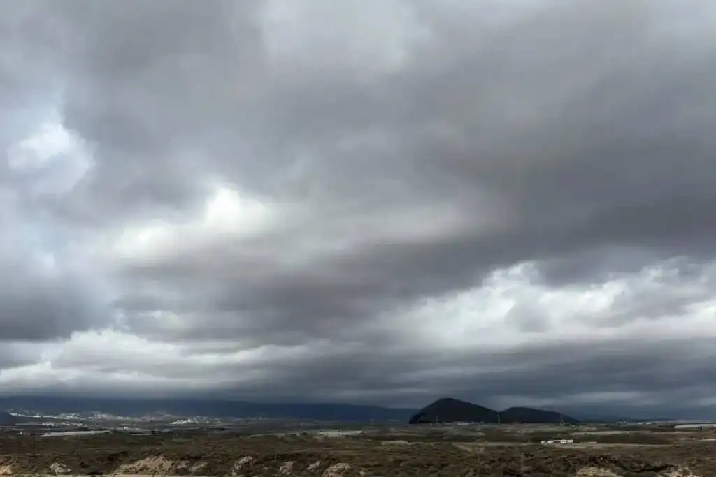
Rain, cloud and strengthening winds are forecast across parts of the Canary Islands today (Thursday), with AEMET predicting the wettest conditions in northern areas of Tenerife, Gran Canaria and the western islands.
According to AEMET, Thursday 27th August will bring a noticeable change in conditions, particularly during the morning and around midday. Southern areas will generally enjoy better weather, with fewer clouds and considerably less chance of rain.
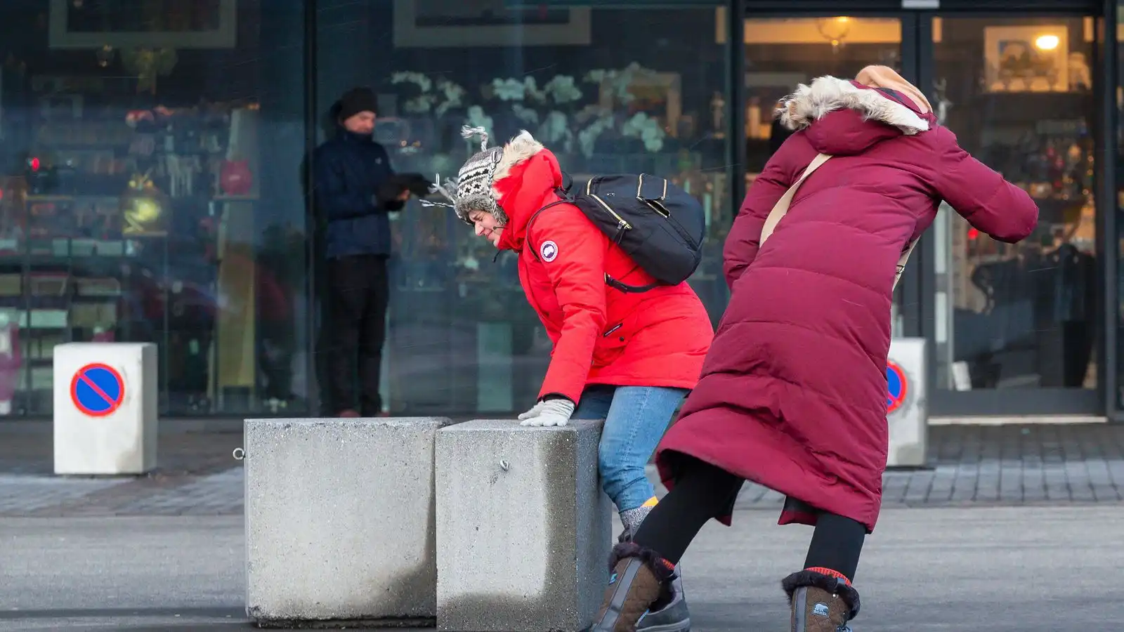
Skies are expected to clear across many areas during the afternoon, but the north and northeast winds will strengthen, with locally very strong gusts possible in some places.
Temperatures dropping in several areas
Minimum temperatures are generally expected to rise slightly, while daytime highs will fall across several parts of the Archipelago.
The most noticeable drop is forecast in the mid-altitude areas of Tenerife and northern Gran Canaria, although some southern-facing areas could see temperatures rise slightly.
Overall, northern and higher areas are most likely to see rain today, while those in the main tourist resorts in southern Tenerife and Gran Canaria can expect considerably drier and brighter conditions.
The main factor to watch later in the day will be the wind, which is forecast to strengthen across much of the Canary Islands from midday onwards.
Tenerife: Rain mainly in the north
In Tenerife, cloudy intervals will develop into more overcast conditions during the morning. AEMET forecasts occasional light to moderate rain in the north, becoming more frequent in the mid-altitude areas during the middle of the day.
Conditions will be considerably brighter in the south, where large sunny spells are expected to develop later in the day. Maximum temperatures will fall, particularly in inland areas with highs of 29°C and a low of 24°C.
Northeasterly winds will also strengthen, with strong intervals expected along the southeast coast and in the extreme northwest of the island. The west coast will experience lighter breezes.
Gran Canaria: Rain in the north but sunnier in the south
Northern Gran Canaria is also forecast to see rain, with cloudy skies and occasional light showers developing from around midday. Rain could become more frequent and locally moderate in the mid-altitude areas, while the rest of the island, particularly the south, should remain mostly clear or only slightly cloudy.
Winds will strengthen from midday, and locally very strong gusts are possible on the southeast and western slopes during the afternoon and evening. Temperatures are forecast between 24°C and 27°C.
Lanzarote and Fuerteventura escape most of the rain
Conditions are expected to be drier in Lanzarote and Fuerteventura, where cloudy intervals will give way to clearer skies during the afternoon.
No significant rainfall is currently forecast for either island.
However, winds will become stronger during the afternoon. AEMET says isolated very strong gusts cannot be ruled out in inland parts of Lanzarote and in the south of Jandía in Fuerteventura. Temperatures are forecast between 23°C and 28°C.
Rain for La Palma, La Gomera and El Hierro
La Palma will have cloudy conditions across the north and east during the morning, accompanied by light to moderate rain, particularly in the medianías. The rain should gradually ease during the afternoon, with clearer skies developing in western areas.
In La Gomera, cloud will increase in the north, where occasional light rain is forecast. Showers could become moderate and more frequent at higher elevations.
El Hierro will also see cloudy spells, particularly in the north, with occasional light rain most likely around midday and in the medianías.