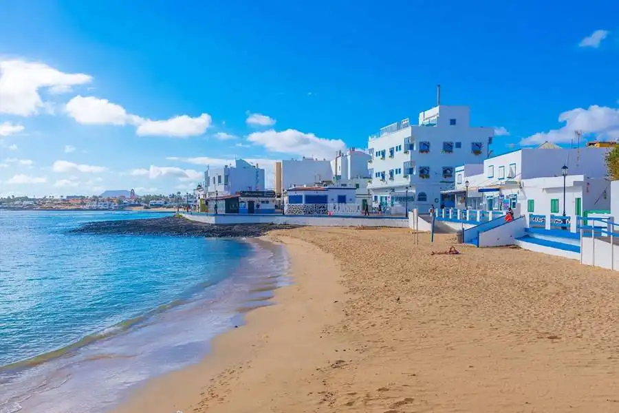
The Canary Islands will see a mixture of sunshine and cloud today, Friday 6th November, although a new Atlantic front is bringing rain to the western islands.
La Palma is expected to receive the most rain today, while Tenerife, Gran Canaria, Lanzarote and Fuerteventura can look forward to brighter spells and warm temperatures, although a few light showers are possible in Tenerife.
The Canary Islands Government declared a rain pre-alert for La Palma from midnight today, covering the whole island, with the greatest chance of heavy rain in the south and west. AEMET has also issued a separate yellow rain warning for La Palma, initially from midnight until 3pm today.
A further spell of unsettled weather is forecast later in the weekend, with rain potentially spreading from west to east across the archipelago on Sunday.
Today’s forecast for each of the islands:
TENERIFE
Tenerife will see a mixture of high cloud and sunny spells, with some lower cloud developing over parts of the island. The weakening front could bring a little light rain, but significant rainfall is not expected today.
In the south, Los Cristianos, Playa de Las Américas and Costa Adeje should enjoy some sunshine, particularly during the morning and early afternoon. Cloud may become more noticeable later in the day.
Puerto de la Cruz in the north can also expect bright periods, although conditions may vary between the coast and higher ground. Temperatures in the named coastal resorts are forecast to range from approximately 21°C to 26°C, with the warmest conditions around the middle of the day.
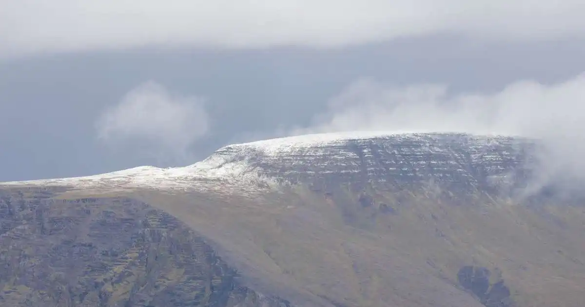
Winds will generally be light near the coast, but could be stronger around the island’s highest peaks.
GRAN CANARIA
Gran Canaria can expect a veil of high cloud at times, with brighter skies developing as the day goes on. Lower cloud may build in the north and northeast, while the south should see plenty of sunshine.
Maspalomas, Playa del Inglés and Puerto Rico are set for a pleasant day, with sunny spells after a cloudier start in some places. Conditions should remain generally settled for residents and holidaymakers spending time outdoors.
Temperatures in southern coastal areas are expected to range from around 20°C to 26°C, with Maspalomas reaching its warmest point early in the afternoon. Winds will generally be light.
LANZAROTE
Lanzarote will see intervals of cloud at different levels, with some brighter spells during the day. More cloud may develop over inland and eastern areas, but rain is not expected in today’s forecast.
Puerto del Carmen, Costa Teguise and Playa Blanca can look forward to a mixture of cloud and sunshine. Puerto del Carmen is expected to brighten during the morning before cloud returns at times later in the afternoon.
Temperatures in coastal areas are expected to be around 21°C to 25°C, with light winds and little change in the overall temperature from recent days.
FUERTEVENTURA
Fuerteventura will also start with cloud in places, followed by clearer skies and sunny spells around the middle of the day. Some cloud may develop over the interior, but conditions are expected to remain generally settled.
Corralejo and Caleta de Fuste should see improving skies through the morning, while Costa Calma and Morro Jable can expect sunshine during the afternoon.
Temperatures in the named coastal areas are expected to range from approximately 20°C to 25°C. Corralejo is forecast to reach around 24°C and Morro Jable around 25°C, with light winds.
Looking ahead to the weekend
Although today will be relatively calm across the four main tourist islands, the forecast is expected to change over the weekend.
National emergency officials say heavier showers and possible thunderstorms could reach the western islands late on Saturday and spread across the archipelago on Sunday. Coastal conditions could also become more unsettled.
The exact timing and areas affected may change, so anyone planning to travel, hike or spend time by the sea should check the latest forecast and official warnings.