The Canary Islands Government has officially ended its pre-alert for high temperatures in Tenerife, Gran Canaria and Fuerteventura, as the recent spell of hotter than usual weather comes to an end.
The warning was lifted at 8:00pm last night (Saturday), following updated forecasts from AEMET, which confirmed that temperatures had fallen enough to no longer justify the warning under the Canary Islands' emergency weather plan (PEFMA).
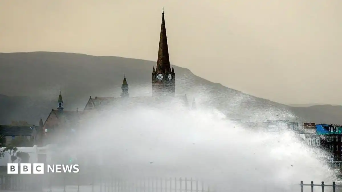
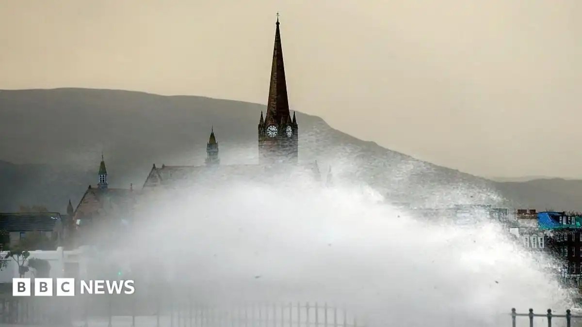
However, while the heat is easing, AEMET has warned that strong winds and hazardous sea conditions will affect much of the archipelago throughout Sunday, with yellow weather warnings remaining in place.
Strong winds expected across the islands
The focus now shifts from high temperatures to powerful trade winds.
Yellow warnings have been issued for gusts of up to 70 km/h in low-lying southeast and northwest areas of Tenerife, Gran Canaria, El Hierro and southern Lanzarote.
Even stronger winds are forecast in La Gomera, where exposed southeast and northwest slopes could see gusts exceeding 80 km/h.
Rough seas and dangerous coastal conditions
A separate yellow warning for coastal conditions remains in force for:
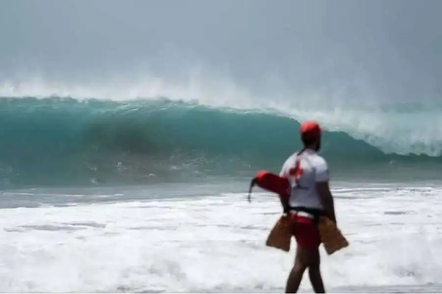
Northeasterly winds of 50 to 61 km/h (Force 7) are expected, particularly in the sea channels between Tenerife and Gran Canaria, around La Gomera and off southeast La Palma. These conditions are likely to produce rough seas, and anyone planning coastal activities is being advised to take extra care.
Cooler temperatures and a touch of calima
With the heatwave over, temperatures will become more comfortable across the islands.
Maximum temperatures on Sunday are expected to reach around 29°C in Tenerife and Lanzarote, while overnight lows will fall to around 19°C in El Hierro and 22°C in Fuerteventura.
AEMET also forecasts light calima at higher altitudes across the eastern province, although it is not expected to have a major impact.
Chance of light drizzle in the north
Cloud is expected to affect the northern slopes of the mountainous islands, with a small chance of light drizzle during the early hours, particularly in northeast mid-altitude areas.
Brighter skies are forecast to develop through the middle of the day, while southern areas and higher ground should remain mostly sunny.
On Mount Teide, light to moderate southwesterly winds are expected at higher elevations, while sea breezes continue along Tenerife's southwest coast.
Although the heat alert has now ended, residents and visitors are still being urged to exercise caution near the coast and in exposed areas, where strong winds and rough seas could create hazardous conditions.