A mixture of bright spells, cloud and showers are forecast across the Canary Islands today, Wednesday 21st October, with conditions varying considerably between the islands.
Tenerife and Gran Canaria will see some breaks in the cloud, although rain remains possible. Further east, Lanzarote and Fuerteventura face a cloudier afternoon with locally moderate showers and possible thunderstorms.
Rain pre-alert activated: where and when
The Canary Islands Government’s updated rain pre-alert takes effect at 9am today, covering El Hierro, La Palma, Tenerife and Fuerteventura.
Issued yesterday, the declaration reflects the arrival of moist, unstable air and the possibility of locally strong showers, some accompanied by thunderstorms.
The Government highlights Tenerife’s metropolitan area from midday and southern Fuerteventura as areas to watch. In La Palma, its assessment focuses particularly on southern and eastern slopes.
El Hierro moves down from alert to pre-alert under the same update. Gran Canaria and Lanzarote are outside this declaration, although both have rain in their forecasts.
Sea conditions
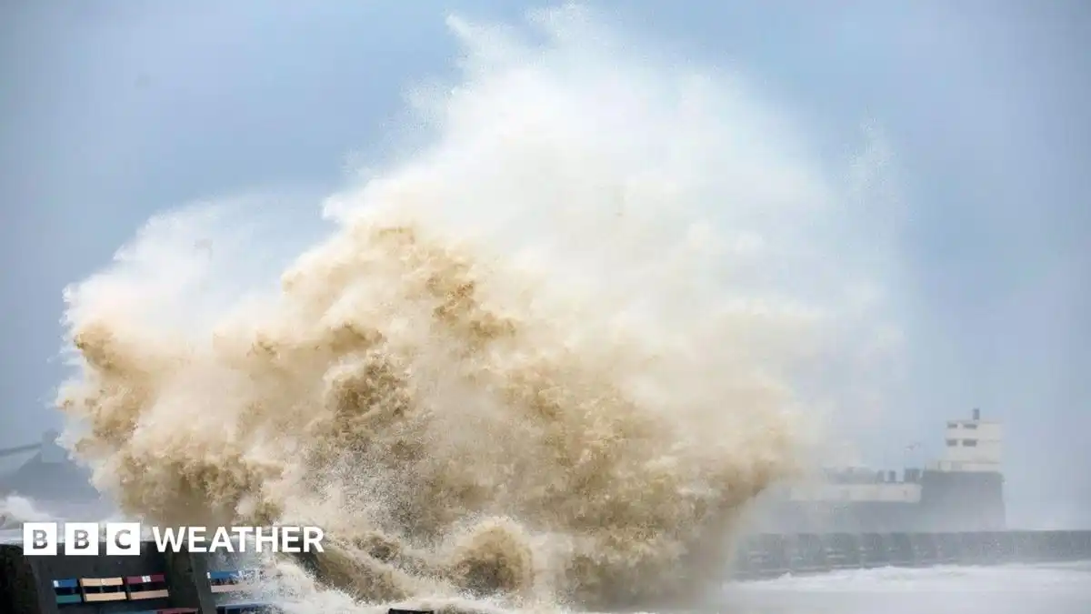
A northerly swell of around one to two metres is forecast, with choppier conditions in exposed waters and locally rougher seas around Gran Canaria and Tenerife.
Showers may temporarily reduce visibility at sea. Anyone heading to the beach should follow local flags and lifeguard instructions, while drivers should allow extra time during heavier downpours.
Island-by-island forecast for Wednesday 21st October 2026:
TENERIFE
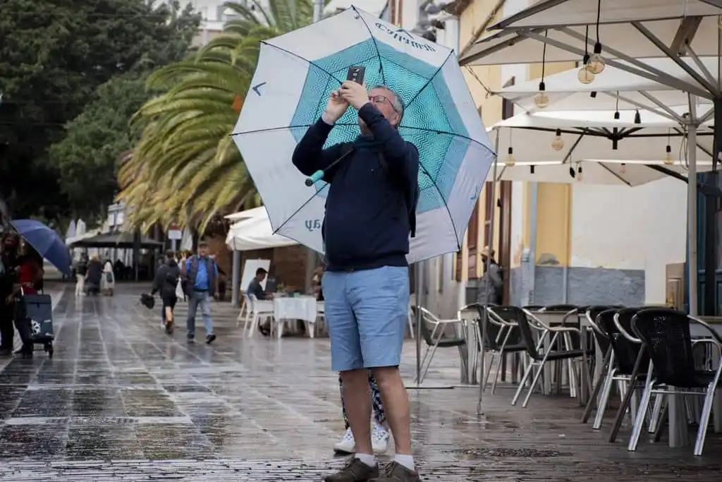
Tenerife will have a changeable day, with more cloud across the northeast initially and brighter breaks elsewhere. Cloud is expected to build around midday, increasing the possibility of showers. Some areas may stay dry between showers, so conditions could differ noticeably over relatively short distances.
The Government’s rain pre-alert particularly highlights the Santa Cruz–La Laguna metropolitan area from midday, where downpours could be locally strong and accompanied by thunderstorms. Anyone travelling through this area should allow for sudden reductions in visibility and water collecting on roads.
Winds will be light to moderate, mainly from the northeast before turning more easterly later. Exposed southeastern and northwestern areas could experience stronger gusts. Temperatures are forecast to range between 22°C and 26°C.
GRAN CANARIA
Northern and eastern Gran Canaria will start cloudier, with light rain possible and some showers potentially lingering. There should be breaks in the cloud around midday, offering brighter intervals between wetter periods.
Elsewhere, cloud will come and go, becoming thicker inland and across southern areas during the day. A trip to the south therefore does not guarantee uninterrupted sunshine, although the Government’s four-island rain pre-alert does not include Gran Canaria.
Moderate northeasterly winds will be more noticeable around exposed southern, southeastern and northwestern parts of the island. Temperatures are forecast to be between 22°C and 25°C. Coastal waters may become choppy, so beach conditions should be checked locally.
LANZAROTE
Lanzarote will become cloudier as the day progresses, with rain more likely later. Showers could be locally moderate, and an isolated thunderstorm cannot be ruled out. Visitors planning outdoor activities should keep some flexibility for wetter spells.
The forecast represents a change from yesterday’s generally brighter conditions. Although Lanzarote is outside the Government’s current rain pre-alert, that does not mean it will remain dry.
Easterly winds will be more noticeable across the south and inland, with temperatures forecast to range between 19°C and 23°C, with a cooler daytime feel than yesterday. Exposed beaches may also be breezy, with a northerly or northwesterly swell affecting surrounding waters.
FUERTEVENTURA
Cloud will become more extensive, particularly during the afternoon, with showers that could be locally moderate or accompanied by thunder. The Government’s rain pre-alert specifically highlights southern Fuerteventura, making the forecast relevant to anyone heading towards Costa Calma, Jandía or Morro Jable.
Rain is expected to be unevenly distributed, so a dry spell in one resort should not be taken as a guide to conditions elsewhere. Drivers crossing the island should be prepared for changing visibility during showers.
Moderate easterly winds will be stronger in western areas. Temperatures are forecast to range between 19°C and 22°C, giving the island a cooler afternoon than yesterday. Beachgoers should follow local flags and lifeguard advice, particularly along exposed stretches of coast.