Yellow weather warnings have been activated for parts of Tenerife and Gran Canaria, with strong winds and rough seas forecast as the Canary Islands prepare for another spell of hot and dusty weather.
The warnings issued by the State Meteorological Agency (AEMET) will come into effect at 9:00pm tomorrow (Tuesday, 1st September), and remain active until 6:00am on Wednesday, 2nd September.
They cover the east, south and west of both Tenerife and Gran Canaria and relate specifically to adverse coastal conditions.
Strong winds and rough seas
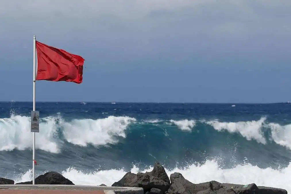
AEMET is forecasting northeast winds of between 50 and 61km/h, equivalent to Force 7, with some of the strongest conditions expected around the channel separating Tenerife and Gran Canaria.
Conditions at sea are expected to range from rough to very rough in affected areas, particularly in the southern part of the channel between the two islands and off the southeast coast of Gran Canaria.
The alerts are yellow, the lowest level in AEMET's weather warning system, but indicate conditions that could pose risks during certain outdoor and coastal activities.
Warnings can be updated as conditions develop, so residents and visitors planning activities near the coast are advised to check the latest forecast.
Temperatures set to rise above 35°C
The coastal warnings coincide with another increase in temperatures across the Canary Islands during the first few days of September.
The highest temperatures are currently expected in Gran Canaria, where thermometers could exceed 35°C in some areas.
Warm overnight conditions are also forecast in parts of the Archipelago.
The increase in temperature follows cooler conditions over recent days and will be caused by the arrival of a warmer air mass.
Calima also returning
The rising temperatures will be accompanied by calima, as Saharan dust moves across the Canary Islands, resulting in hazy skies and reduced visibility in affected areas.
However, despite the hotter and drier air, forecasters are not ruling out some rain. Scattered showers could develop in parts of the Canary Islands, particularly on Wednesday and Thursday, although exactly where and how much rain falls will depend on the movement of the air masses and the amount of available moisture.
AEMET is continuing to monitor the situation and may update its forecasts and warnings as conditions develop over the coming days.