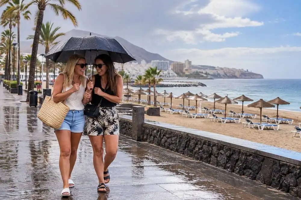
Five Canary Islands are under a government pre-alert for rain as the Bank Holiday weekend begins, with forecasters warning of locally heavy showers and possible thunderstorms in various parts of the archipelago today (Saturday).
The Canary Islands Government activated the precautionary measure at 3:00pm yesterday (Friday), covering Lanzarote, La Graciosa, Fuerteventura and northern areas of Gran Canaria and Tenerife.
The pre-alert remains listed as active by the regional government's emergency information service.
The unsettled conditions are associated with the DANA weather system affecting the archipelago from the east, although rainfall is expected to be irregular rather than continuous.
Some areas could experience heavy showers while nearby locations remain largely dry.
Lanzarote And Fuerteventura Face Heaviest Showers
The eastern islands remain particularly exposed to the unsettled weather.
Lanzarote experienced the highest risk of intense rainfall overnight, with forecasters warning that showers could produce more than 15 litres per square metre in an hour.
Isolated thunderstorms are also possible.
Fuerteventura could experience locally heavy showers during the first half of Saturday, although rainfall is generally expected to be lighter and more intermittent.
The government pre-alert is separate from AEMET's yellow weather warning for Lanzarote, which was scheduled to expire at 6:00am today.
TENERIFE — rain in the north, brighter in the south
Tenerife will experience cloudy conditions across northern areas, with occasional rain during the morning and later in the day.
An isolated heavy shower cannot be ruled out.
Southern and western parts of the island should enjoy brighter intervals, although cloud may develop during the afternoon with the possibility of occasional light showers.
Moderate northerly winds are expected, becoming stronger in some exposed areas.
The central mountains could experience strong northeasterly winds, with a small possibility of very strong gusts.
General temperature range: Low of 20°C and a high of 27°C.
GRAN CANARIA — cloud and rain in the north
Northern Gran Canaria will see cloudy skies with light to moderate rainfall, particularly during the first half of Saturday.
Locally heavy showers remain possible early in the day. Southern areas should experience brighter conditions, although cloud could increase around midday with occasional showers.
Temperatures will remain relatively stable.
General temperature range: Low of 22°C and a high of 26°C.
LANZAROTE — showers and possible thunderstorms
Lanzarote faces variable cloud and intermittent rain throughout Saturday.
Some showers could be locally heavy, particularly during the early morning, with isolated thunderstorms possible.
Northerly winds will remain moderate.
The island's government rain pre-alert also covers neighbouring La Graciosa.
General temperature range: Low of 21°C and a high of 27°C.
FUERTEVENTURA — occasional rain and locally heavy showers
Fuerteventura will experience cloudy intervals with occasional showers.
Rainfall is generally expected to be light, although some areas could see moderate rain.
Forecasters have not ruled out locally heavy showers during the first half of the day.
Moderate northerly winds will continue.
General temperature range: Low of 21°C and a high of 26°C.
PRECAUTIONS FOR THE BANK HOLIDAY WEEKEND
The regional government is advising residents and visitors to exercise caution in areas vulnerable to sudden flooding.
Heavy rain can cause water levels to rise rapidly in normally dry ravines, particularly when intense showers develop over mountainous terrain.
Motorists should avoid attempting to cross flooded roads, while people planning walks or outdoor activities should check local conditions before setting out.
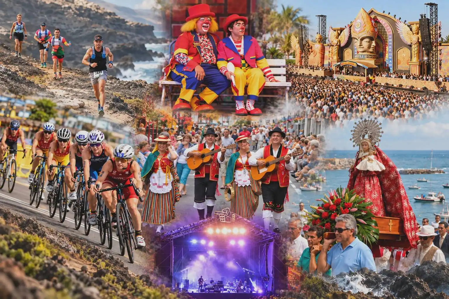
The unsettled weather coincides with a busy Bank Holiday weekend, with outdoor concerts, sporting events and traditional fiestas taking place across the islands.
Conditions are expected to remain variable, making it important to follow the latest forecasts and official emergency announcements.