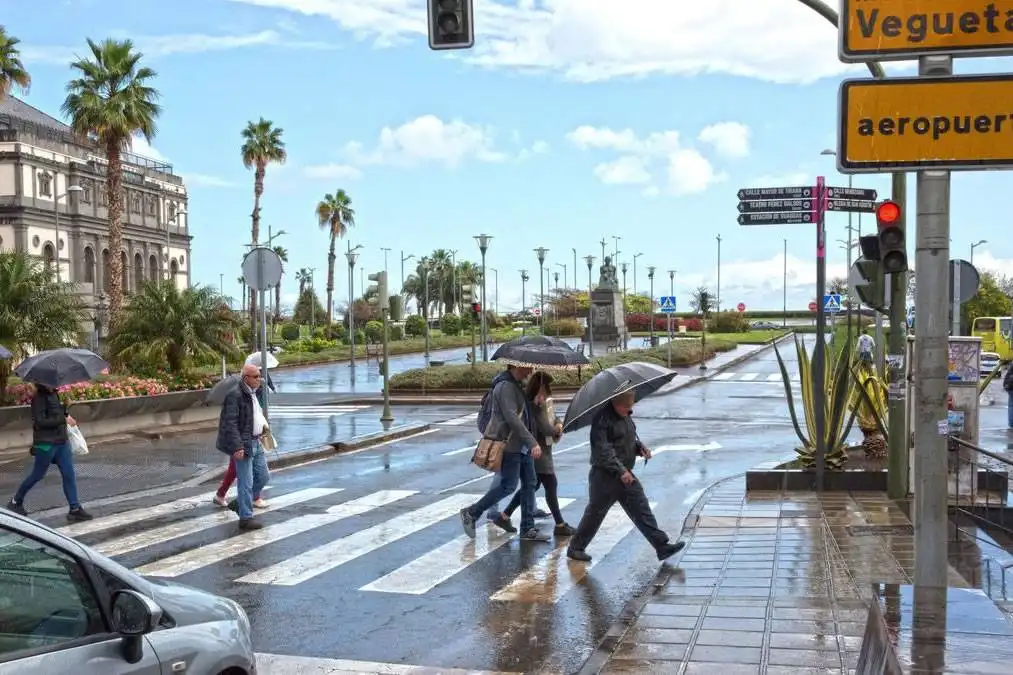
The Canary Islands will experience a cooler and more unsettled day today, Thursday, as the remnants of an Atlantic front move across parts of the archipelago.
The biggest change will be felt in Tenerife and the western islands, where increased cloud, greater humidity and periods of rain will replace the clearer and warmer conditions experienced earlier this week.
The eastern islands will remain considerably drier, with temperatures still approaching 30°C in parts of Lanzarote.
Showers expected in Tenerife
Tenerife will have a noticeably cloudier day, particularly across the north of the island.
Rain is expected mainly in northern areas as the remnants of the front pass through, although cloud will also increase elsewhere.
The south will also see more cloud than in recent days, although conditions should generally remain drier than in the north.
Temperatures are not expected to change dramatically, but increased cloud, humidity and the return of the trade winds will make conditions feel less hot than during the recent spell of sunshine.
Gran Canaria mostly dry
Gran Canaria will see increasing cloud, with the possibility of some light rain over northern higher inland areas.
Higher cloud will also spread across southern parts of the island during the day.
Temperatures in Las Palmas de Gran Canaria are expected to range between approximately 24°C and 27°C.
Winds will strengthen in some areas as the trade winds become re-established.
Lanzarote and Fuerteventura stay warmer
Conditions will remain warmer and generally drier across Lanzarote and Fuerteventura.
Fuerteventura will see increasing high cloud during the morning, while the trade winds will strengthen. Temperatures in Puerto del Rosario are expected to range between approximately 22°C and 27°C.
Lanzarote should have periods of high cloud mixed with lengthy sunny spells.
Arrecife could still reach around 29°C, making Lanzarote one of the warmest parts of the archipelago today.
Sea conditions become rougher
The return of the trade winds will also make sea conditions somewhat rougher around parts of the islands.
A north-westerly swell is expected to increase to around two to three metres in some northern and exposed coastal areas, including waters around Lanzarote and Fuerteventura later in the day.
Conditions will remain calmer along some sheltered southern and south-western coasts.
AEMET currently has no coastal weather warnings in force for the Canary Islands and does not expect warning-level conditions during Friday.