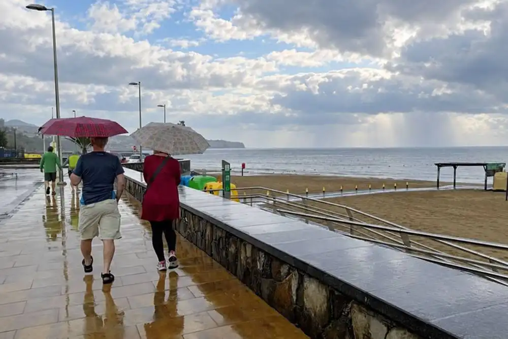
The Canary Islands are starting the week with a mixture of cloud, sunny spells and scattered showers today, Monday 19th October, with daytime temperatures reaching the mid-to-high twenties.
Lanzarote and Fuerteventura should see clearer skies develop around midday. Rain is more likely in parts of Tenerife and Gran Canaria, particularly early in the day and again inland during the afternoon.
How much rain fell yesterday?
Weather-station readings confirm rain in northern Tenerife and Gran Canaria on Sunday, although the figures available are incomplete daily totals.
At Llano de los Loros, in La Laguna, hourly readings totalled 9.8 litres per square metre between midnight and 4pm, including 4.8 litres in the hour ending at 3pm.
In Teror, Gran Canaria, the available readings totalled 11.4 litres per square metre between midnight and 10pm.
These are measurements at individual stations, rather than island-wide totals or the highest amounts recorded. Rainfall can vary considerably between neighbouring areas.
Wind and sea conditions
Northerly winds should ease as the day progresses, allowing local breezes to develop.
A northerly swell will affect exposed coasts, with waves potentially exceeding two metres along northern shores and western parts of Lanzarote and Fuerteventura. Check beach flags and take care near exposed rocks.
Outlook for each of the islands on Monday 19th October:
TENERIFE
Tenerife starts Monday with cloud and light rain, which could be persistent in the north-east during the early hours. Clearer spells should develop along northern coastal areas around midday.
Cloud will build over the southern interior during the afternoon, bringing a chance of occasional showers. Anyone heading into the hills should allow for cooler, cloudier conditions than at the coast.
Northerly winds will ease through the day, with local breezes becoming more noticeable later. Temperatures are forecast to range between 20°C and 26°C, with a slight to moderate fall in daytime temperatures in some inland and southern areas.
GRAN CANARIA
Northern and inland parts of Gran Canaria could see persistent light rain early on, with a cloudy start in these areas.
Brighter spells should develop along the northern and western coasts from around midday. Meanwhile, cloud will gather over the southern interior, where occasional afternoon showers are possible.
The forecast does not indicate continuous rain across the southern resorts, although conditions could change during the day. Northerly winds will gradually weaken, giving way to local breezes. Temperatures are forecast to range between 22°C and 25°C, with a more noticeable drop inland.
LANZAROTE
Lanzarote should have a cloudy start, with the possibility of occasional light rain during the early hours. Skies are expected to clear around midday, bringing brighter conditions for the afternoon.
Temperatures will change little overall, although inland areas could have a slightly cooler start. Highs are forecast to reach 27°C, following a minimum of 19°C.
Winds will be light and mainly from the north, with local breezes developing later. A northerly swell will affect exposed shores, so brighter skies should not be taken as a sign of calm swimming conditions.
FUERTEVENTURA
Fuerteventura also starts with intervals of cloud and a small chance of occasional light rain early on. Cloud should break around midday, leaving a brighter afternoon.
Temperatures will be slightly lower than on Sunday, and are forecast to range between 20°C and 25°C.
Moderate northerly winds will ease during the morning, with local breezes taking over later. Exposed northern and western beaches will remain affected by the northerly swell, making beach flags and local sea conditions particularly important when choosing where to swim.